
Drone Photography and Data Capture Specialist
Delivering precision aerial imaging and data capture for surveys, inspections and marketing.


What We do
AirOptic is a specialist drone service provider focused on safe, accurate, and reliable aerial data capture. Working as a trusted partner to surveying companies and project teams, we supply high-quality imagery needed to support inspections, condition surveys, and commercial projects. Our primary services include:
Aerial Data
High-resolution raw imagery and video delivered securely, ready for surveyors, engineers, or project teams to analyse. Data is used to support surveys and inspections, condition monitoring, progress tracking and site documentation.
Aerial Content
Striking aerial content to support an array of marketing efforts such as branding, promotion and cultural documentation.
Where We Work
Based in the North West of England, we’re well-placed to support projects throughout the whole of the UK. From North to South, we've been a trusted drone partner for clients nationwide.

Our Tech

4K / 60fps Video
Capture fine structural details with high-resolution video to support accurate condition assessments.
48 Megapixel Photography
Generate detailed still imagery with high pixel density, enabling accurate zoom, annotation, and condition reporting without loss of clarity.
Intelligent Flight Modes
Automated flight modes enable consistent data collection and timely results.
How We Work
Safety First
Every flight is planned with risk assessments, insurance, and strict compliance.
Professional Equipment
Our drones are equipped with obstacle avoidance, return-to-home, and high-resolution cameras.
Efficient Delivery
Secure, fast turnaround of raw imagery and video, ready for use in surveys and reports.
Why Choose Us?
A Partner, Not a Competitor
We don’t produce survey reports or consultancy; instead, we deliver the aerial imagery and data you need to do what you do best. Perfect for surveyors, consultants, and property professionals who want reliable drone support without overlap.
Cost-Competitive
By focusing purely on drone operations, we keep our services lean, efficient, and affordable - saving you and your clients the added expense of full access equipment or bundled services you don’t need.
Trusted Expertise
Fully qualified and insured operators, ensuring every flight is safe, compliant, and professional.
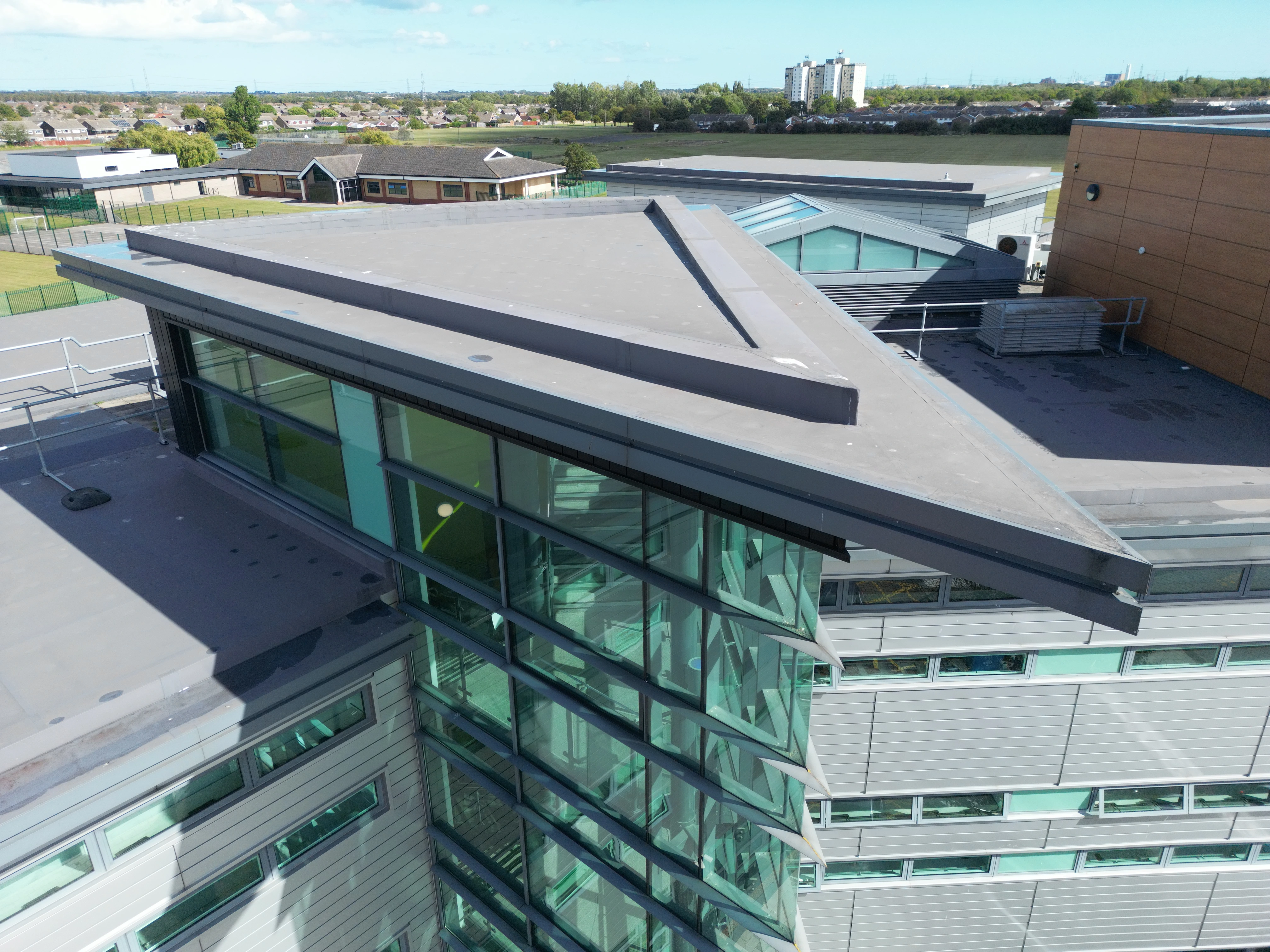
Surveys & Inspections
Using high-resolution camera drones to access hard-to-reach areas has become a much safer, cost-effective and prefered solution in the surveying industry over traditional methods. Our equipment drones are equipped with advanced safety features such as obstacle avoidance and automated return-to-home, ensuring operations never compromise critical infrastructure.
By capturing accurate, high-quality visual data, we support surveying teams in conducting condition surveys, structural assessments, and project monitoring. The result is reliable aerial imagery that reduces risk, saves time, and improves efficiency on site.
AIROPTIC delivers the data you need - safely and efficiently.
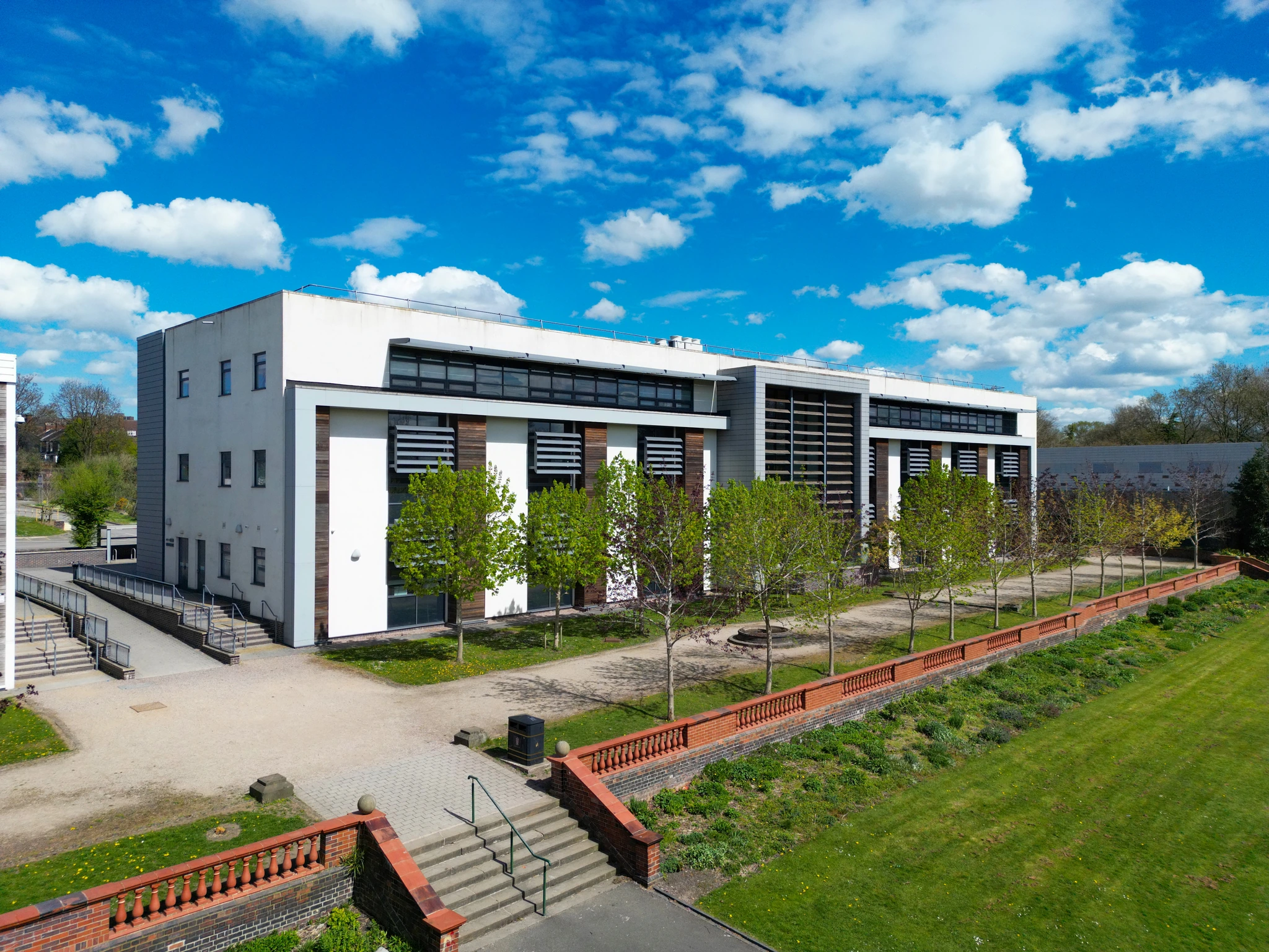
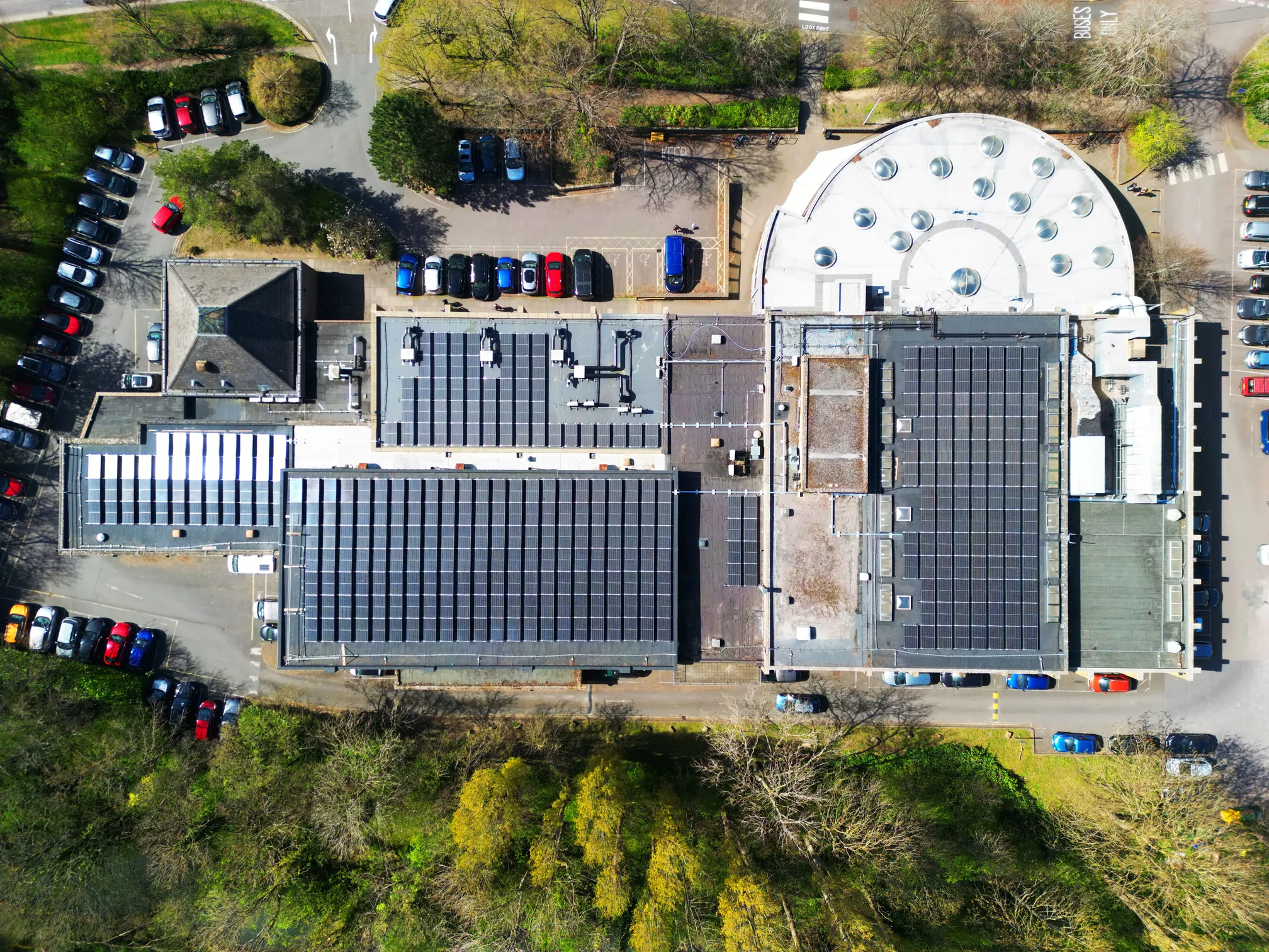
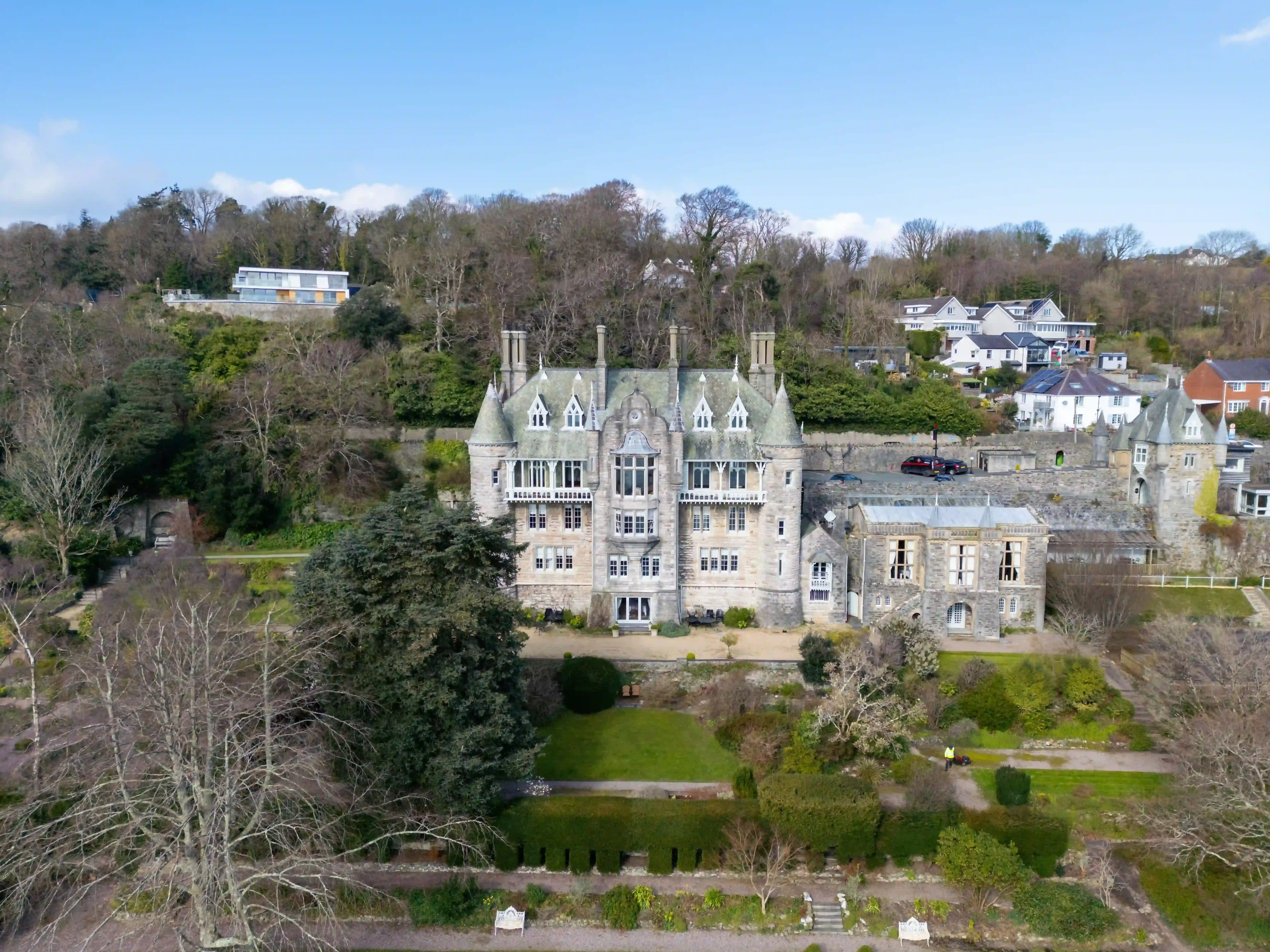
Gallery
See a selection of our work. We've delivered aerial visuals and data for a large variety of projects covering buildings and public infrastructure projects.
Get in touch
Send us a message and we'll get right back to you! Alternatively you can reach us on the below:
Email: hello@airoptic.co.uk
Tel: +44 7505 963 752

